Enhancing the Rivers of Chesapeake Bay: How Comprehensive Surveys Deliver Holistic Benefits
By David Neff, Woolpert Market Director and Certified Hydrographer
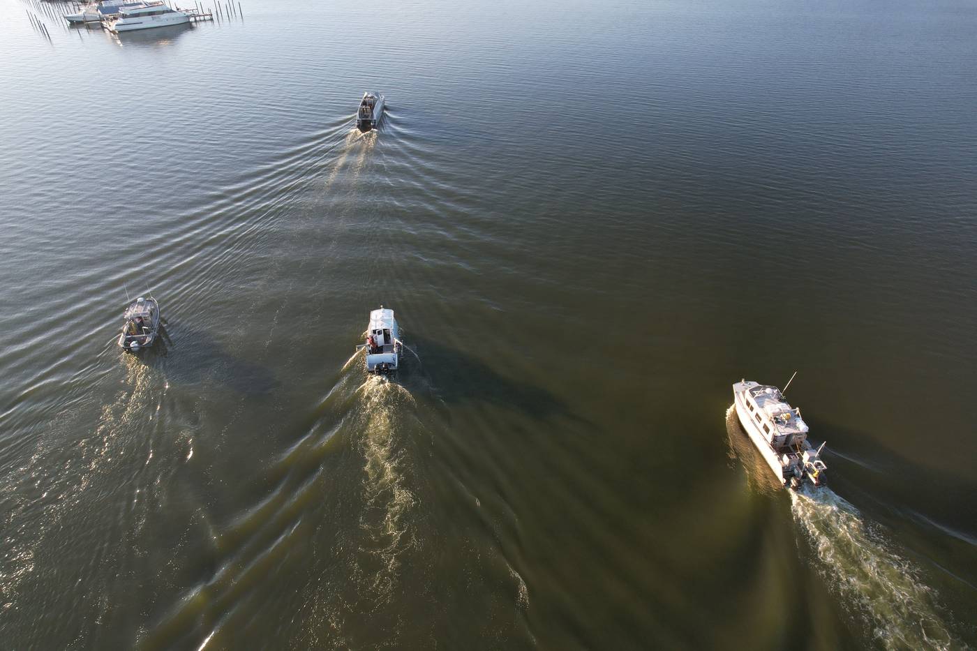
Woolpert travels along the Chesapeake Bay, surveying 502 square nautical miles of the estuary to deliver bathymetric data.
Image courtesy of Woolpert.Home to over 18 million people and 3,600 animal and plant species, the vibrant Chesapeake Bay is the largest estuary in the country. A centerpiece of historical events, economic and environmental affairs, and recreational activities, it’s one of the most valuable watersheds in the U.S. — but the Chesapeake Bay has been transformed over time through sedimentation, erosion, and human activities.
The National Oceanic and Atmospheric Administration contracted Woolpert to conduct an extensive survey of several southwestern Chesapeake Bay tributaries, including the Potomac, Rappahannock, James, and York Rivers, where there is a lack of modern hydrographic data. The project encompasses 502 square nautical miles; a primary goal is to collect bathymetric data to support updates to the National Weather Service’s National Water Model. The updates will be critical in improving habitat monitoring, forecasting freshwater flow, and developing modern flood inundation maps and forecasting models. However, that’s not all. The Southwest Chesapeake Bay Rivers project will yield numerous positive outcomes for a diverse array of stakeholders, with four major benefits serving as categories for the holistic advantages.
1. Improved Navigational Safety
Navigational safety stands at the forefront of the project’s benefits. The Chesapeake Bay and its tributaries are vital routes for recreational and commercial vessels and updated nautical charts are essential in preventing groundings on the bay floor or collisions with underwater features often referred to as “Dangers to Navigation”.
For example, recreational boaters, such as fishing enthusiasts and sailing clubs, will find updated charts invaluable for planning routes and supporting safe and enjoyable experiences on the water. Similarly, commercial vessels, including cargo ships and fishing boats, will use the precise navigation data to transport goods safely and more efficiently. Vessels traveling the James River, a heavily industrialized waterway, will benefit from enhanced bathymetric data’s ability to inform and thus minimize the risk of accidents and delays and their related economic impacts.
2. Enhanced Coastal Resilience
Coastal resilience will also be enhanced by the Southwest Chesapeake Bay Rivers project. According to NOAA, climate change has increased Chesapeake Bay’s average temperature by 1.8 degrees Fahrenheit, raising bay water levels between 1.3 to 5.2 feet over the next century. Accurate bathymetric data is indispensable for developing the robust inundation models needed to predict the movement and impact of floodwaters. Crucial for emergency management agencies and urban planners, these models deliver insights into potential flood zones, support the design of flood defenses, and improve evacuation plans. By enhancing decision-makers' ability to predict and respond swiftly to inundation events, the project’s data can help save lives, protect property, and reduce the economic impact of natural disasters.
This data will also play a vital role in coastal infrastructure development. Engineers and planners can use the highly detailed information to design and construct resilient buildings, roads, and bridges that can withstand rising water levels and severe weather events. This proactive coastal development approach will help communities amplify their resilience in the face of the inevitable impacts of climate change.
3. Restored Ecosystem
The Chesapeake Bay ecosystem, a vital habitat supporting diverse marine life, stands to experience significant gains from the project. The data obtained will support fishery sciences and habitat monitoring while contributing to the sustainable management of these resources.
Take oyster reefs as a tangible example. Oyster reefs are crucial to the bay’s ecosystem because they provide a habitat for marine species, improve water quality, and help protect shorelines from erosion. Unfortunately, the Chesapeake Bay Foundation recently found that the estuary's oyster numbers have plummeted from exposure to pollution and overharvesting. The new bathymetric data will help identify suitable sites for oyster reef restoration, particularly in the Hampton River, where the Chesapeake Bay Foundation is actively studying reef development. The Rappahannock River, known for its thriving oyster industry, will also play a role in fostering oyster growth. Effective management of this waterway hinges on accurate temperature and salinity data, and hydrodynamic models informed by the new bathymetric data will support the understanding of water flow patterns and promote the maintenance of optimal conditions for oyster growth and sustainability.
Fish populations, including important commercial and recreational species, will also benefit from improved habitat monitoring. Understanding underwater bathymetry and water movement patterns is essential for managing fish stocks, protecting spawning grounds, and supporting the long-term health of the bay’s fisheries. The survey data will aid in the implementation of science-based management practices while balancing the needs of the global fishing industry with the conservation of marine biodiversity.
4. Better Conservation Initiatives
NOAA’s National Marine Sanctuary at Mallows Bay-Potomac River, with its rich collection of Revolutionary and Civil War artifacts, is another key focus area. The last survey of this sanctuary was conducted in 1972, and since then, the area has faced numerous environmental changes that have hindered conservation efforts. Updated survey data will inform best preservation practices to conserve and promote the sanctuary’s historic and cultural maritime resources.
This aspect of the project underscores the importance of integrating historic preservation with modern environmental management. By protecting these underwater cultural heritage sites, which include shipwrecks and remains from wooden steamships, conservationists will encourage future generations to learn from and appreciate the rich history embedded in the Chesapeake Bay.
Sustaining a Valuable, Vibrant Resource
The Southwest Chesapeake Bay Rivers project is more than a data collection initiative—it exemplifies a holistic approach to the stewardship of the U.S. coastal environment and represents a commitment to understanding and preserving one of the nation’s most important waterways that’s been changed by sedimentation, erosion, and human activities. The detailed and up-to-date bathymetric data will enhance navigation safety, support coastal resilience, advance fishery science, and safeguard historical and cultural resources. A wide range of stakeholders, from navigators and fishermen to urban planners and conservationists, will be able to integrate the data into various models and management plans to guide informed decision-making. That outcome will promote the sustainable use of the bay’s resources while protecting its ecological integrity so that it remains a valuable and vibrant natural asset for future generations.
