Dr. Dawn Wright: Mapping the Deep and Charting New Frontiers
The ocean's depths have long been one of the last great mysteries of our planet. Despite covering more than 70% of Earth’s surface, much of the deep sea remains unexplored. But for Dr. Dawn Wright—scientist, explorer, GIS (Geographic Information Systems) expert, and deep-sea pioneer—mapping the unknown is both a passion and a mission.
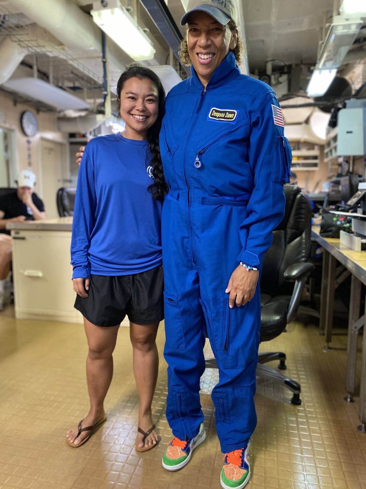
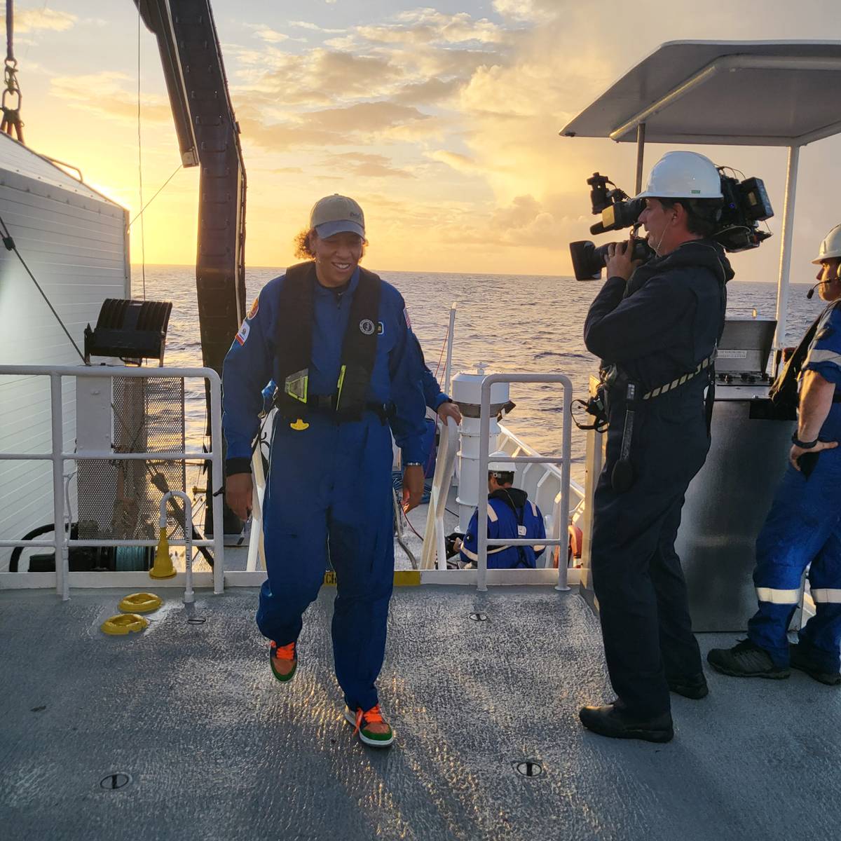
A leading authority on GIS and its application in ocean science, Dr. Wright has made history not only for her groundbreaking work in ocean mapping but also as the first Black individual to dive to Challenger Deep, the deepest known point in the ocean. In an engaging conversation on the Deep Dive podcast, hosted by Rhonda Moniz, Dr. Wright shared her journey, from a childhood fascination with the ocean to her historic dive, the importance of mapping our seas, and the innovative technologies shaping the future of marine exploration.
A Love for the Ocean
Born and raised in the Hawaiian Islands, Dr. Wright’s love affair with the ocean began early. “It’s really hard to grow up surrounded by the ocean and not be completely enamored with it,” she reflected.
While many ocean explorers trace their inspiration to Jacques Cousteau, Dr. Wright’s defining childhood moment came from an unlikely source—NASA’s Apollo 11 moon landing. “I was one of those kids glued to the television, but while everyone else was dreaming about space, I was thinking—can we do this in the ocean?”
That curiosity set her on a path to becoming one of the world’s foremost ocean mappers, using GIS technology to visualize and understand our oceans in ways never before possible.
The Power of Mapping the Ocean
Dr. Wright’s work at Esri, a global leader in GIS technology, is revolutionizing how we understand and manage the ocean. Esri’s mapping tools are used worldwide, from government agencies to conservation groups, helping to track climate change, manage fisheries, and even predict the impact of tsunamis.
"GIS is everywhere," she explained. "If you’ve ever received a package from UPS or FedEx, our technology helped it get to your door. We’ve been described as 'Google Maps on steroids' because we provide mapping solutions for so many industries."
But in the realm of ocean science, mapping is about more than navigation—it’s about survival. Dr. Wright emphasized how seabed mapping plays a critical role in everything from disaster preparedness to protecting marine biodiversity.
“We have over 1.3 million kilometers of cables running across the ocean floor that keep the internet running. We need accurate maps to maintain them,” she said. “Accurate seafloor mapping also helps us predict and prepare for tsunamis, plan offshore wind farms, and understand how climate change is affecting our oceans.”
Through efforts like the Seabed 2030 initiative, scientists aim to map the entire ocean floor in high resolution by the end of the decade—a crucial step toward understanding our planet’s most mysterious realm.
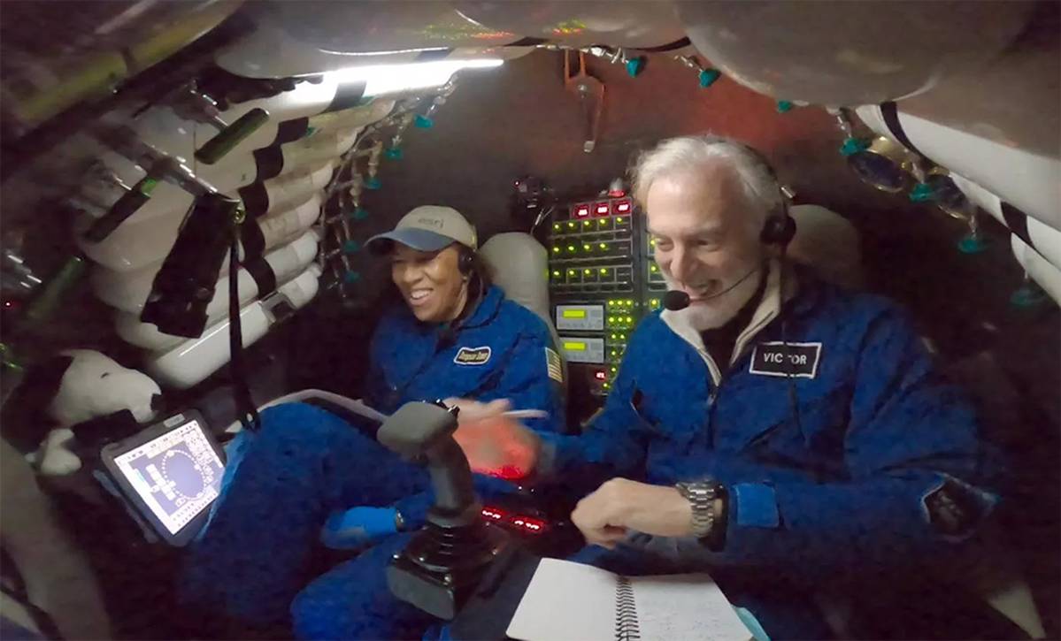
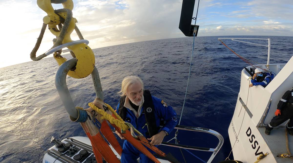
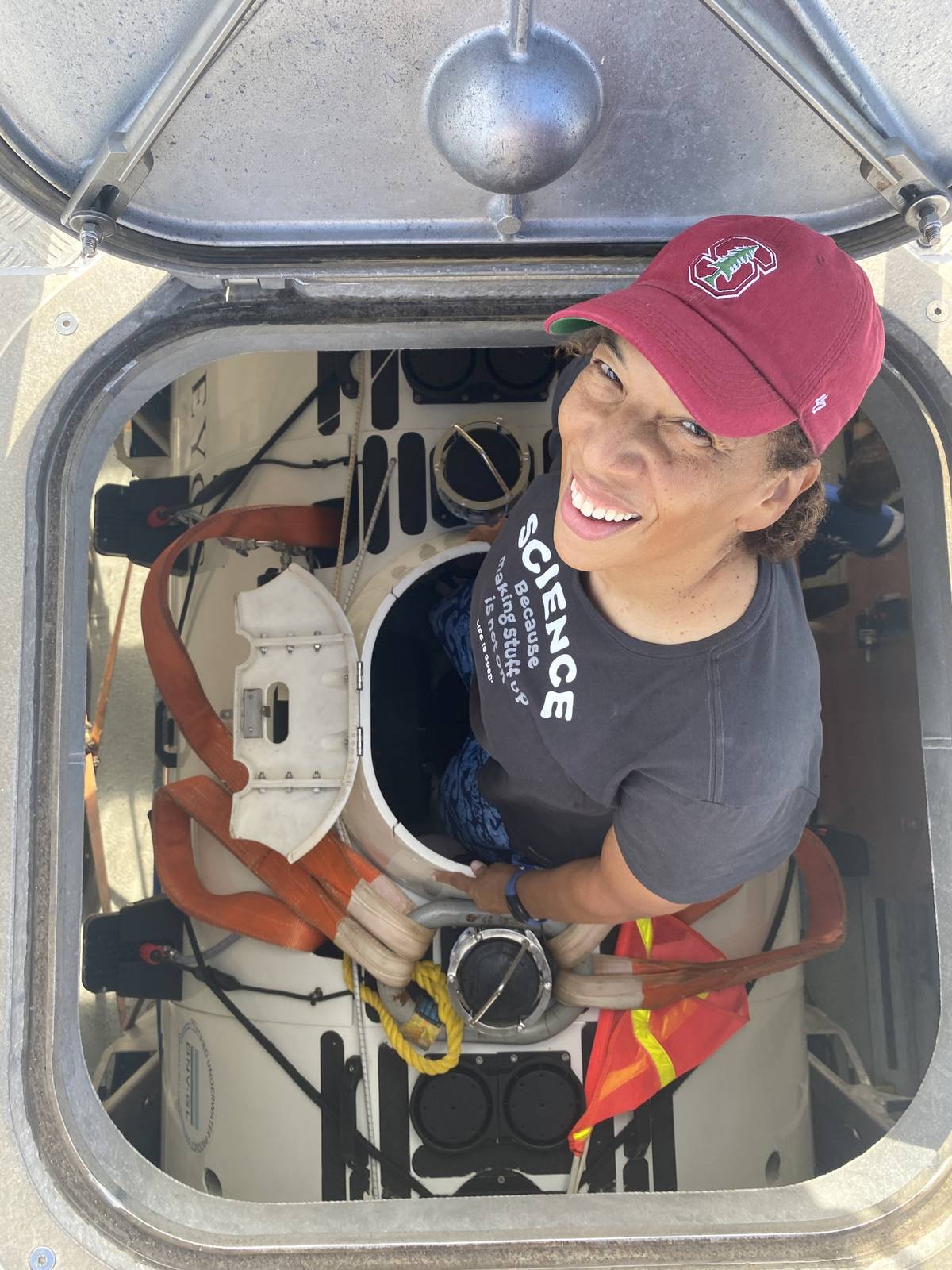
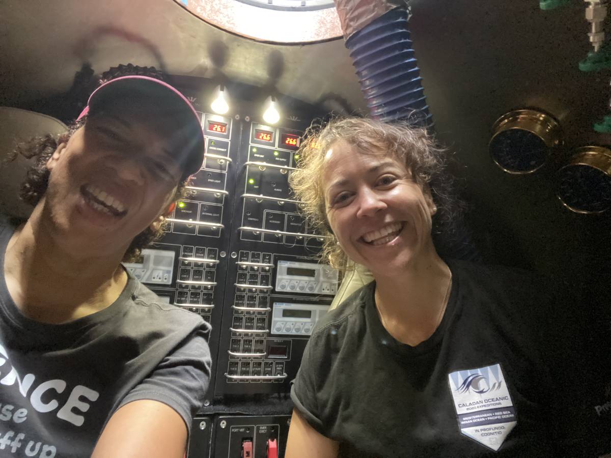
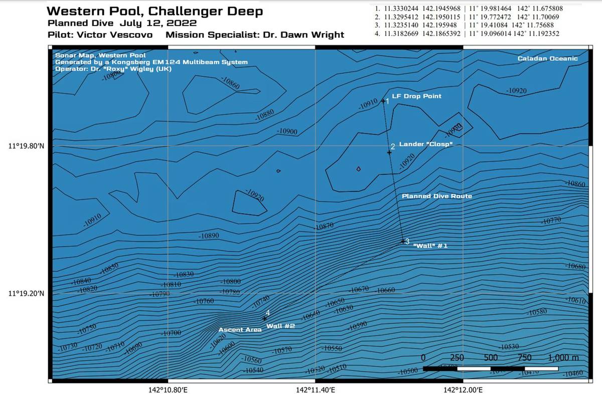
A Journey to Challenger Deep
In 2022, Dr. Wright joined renowned explorer Victor Vescovo for a historic descent into Challenger Deep, located in the Mariana Trench nearly 11,000 meters (36,000 feet) below the surface.
“There’s a parallel between deep-sea and space exploration,” she explained. “Being in that submersible, descending into complete darkness, it felt like a moon landing. There’s this overwhelming sense of insignificance, but also significance—you realize you are somewhere no human has ever been before.”
On that dive, Dr. Wright and Vescovo also tested a groundbreaking side-scan sonar system designed to map the deepest seafloor. The technology had been used to locate shipwrecks like the Samuel B. Roberts and Ernest Shackleton’s Endurance, but had never been deployed at full ocean depth.
“Our mission was to test if the instrument could function at such extreme pressures—and it did,” she said. “This kind of technological advancement is crucial for future ocean exploration.”
A Call to Action
Dr. Wright’s latest book, Mapping the Deep: Innovation, Exploration, and the Dive of a Lifetime, is not just an adventure memoir—it’s a call to action. Along with recounting her Challenger Deep experience, the book highlights the critical role of ocean mapping and how anyone, regardless of background, can contribute to marine conservation.
From volunteering with organizations like Mission Blue to reducing plastic use, Dr. Wright believes that everyone has a role to play in ocean stewardship.
“You don’t have to live near the ocean to make a difference,” she emphasized. “The ocean connects us all.”
Breaking Barriers and Inspiring the Next Generation
Beyond her scientific achievements, Dr. Wright is a trailblazer for diversity in STEM. From being the first Black person to visit Challenger Deep to mentoring young scientists, she’s passionate about breaking barriers and fostering inclusion in ocean exploration.
“I’ve had young Black students tell me, ‘I didn’t think people like us could be ocean scientists,’” she said. “We need to change that narrative. The ocean is for everyone.”
To that end, she applauded efforts like Expedition HER, a new initiative by podcast host Rhonda Moniz to inspire young women in STEM.
“There aren’t enough programs like this,” Dr. Wright said. “We need to keep showing young girls—and especially young girls of color—that they belong in science, exploration, and technology.”
What’s Next for Dr. Wright?
With a packed schedule, Dr. Wright shows no signs of slowing down. She continues her work at Esri, advising global organizations on GIS applications in ocean science, and has also taken on a new role as a U.S. State Department Science Envoy, focusing on international marine conservation and sustainability efforts.
Her upcoming projects will take her across the globe, including to the Indian Ocean, where she will work with island nations on ocean sustainability initiatives.
“The work never stops,” she said. “But that’s what makes it exciting.”
A Legacy of Exploration and Innovation
Dr. Dawn Wright’s contributions to ocean science and mapping technology are monumental, but her legacy extends beyond her research. As a scientist, explorer, and mentor, she continues to pave the way for future generations of ocean advocates.
For those inspired by her journey, Mapping the Deep is available on Amazon and indie publishers, with additional resources—including maps, videos, and educational tools—available at mappingthedeep.com.
As she continues to push the boundaries of exploration, one thing is certain: the world—and the ocean—has only begun to see the impact of Dr. Dawn Wright.

